
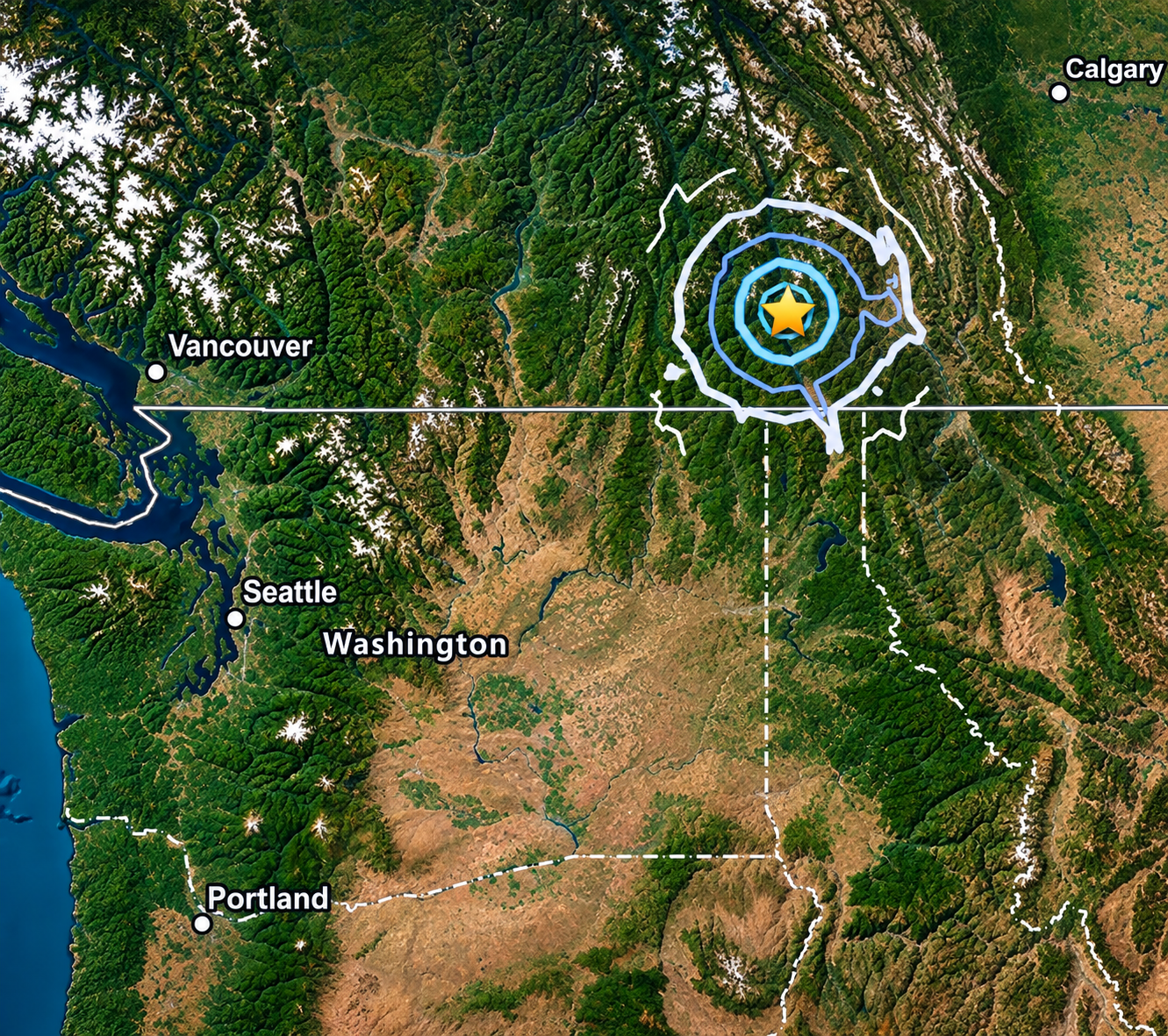
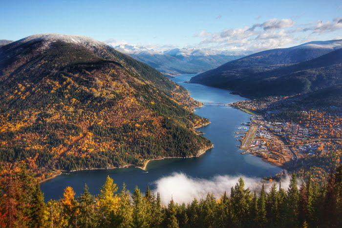
Early Thursday morning, a magnitude 4.2 earthquake struck the Kootenay region of southern British Columbia, sending light tremors south across the U.S. border into Eastern Washington. According to the U.S. Geological Survey (USGS) and Earthquakes Canada, the seismic event occurred at 5:31 a.m. PDT approximately 37 kilometers (23 miles) east-northeast of Nelson, B.C., near the Crawford Bay and Harrop-Procter area. The quake was registered at a shallow depth of approximately 10 kilometers (6.2 miles).
Residents in surrounding British Columbia communities, including Creston, Cranbrook, and Castanet regions, reported sudden shaking that woke households. Due to the shallow depth of the epicenter, shockwaves traveled across the international boundary into Northeast Washington. Residents in Stevens County, North Pend Oreille County, and surrounding inland areas reported feeling brief vibrations, light rattling of household items, and mild ground movements shortly after 5:30 a.m.
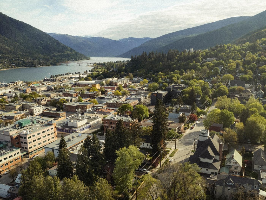
Emergency management authorities in both British Columbia and Washington state confirmed there were no immediate reports of structural damage or injuries following the tremor. Local public safety agencies verified that critical infrastructure, highways, and utility services across Stevens County and neighboring border communities remain fully operational. Earthquakes of magnitude 4.0 to 4.9 are generally categorized as light quakes capable of shaking indoor objects and causing noticeable vibrations, but rarely leading to significant structural impact.
Seismologists continue to monitor the Kootenay and Inland Northwest regions for potential aftershocks. While the Pacific Northwest coast is widely known for marine fault systems like the Cascadia Subduction Zone, inland fault networks running through British Columbia and Eastern Washington routinely experience minor tectonic shifts. USGS and Earthquakes Canada encourage residents who felt the movement to submit a report on the official “Did You Feel It?” public mapping tools to assist scientists in gathering intensity data across the border region.
Check Out Our Post on Instagram: