
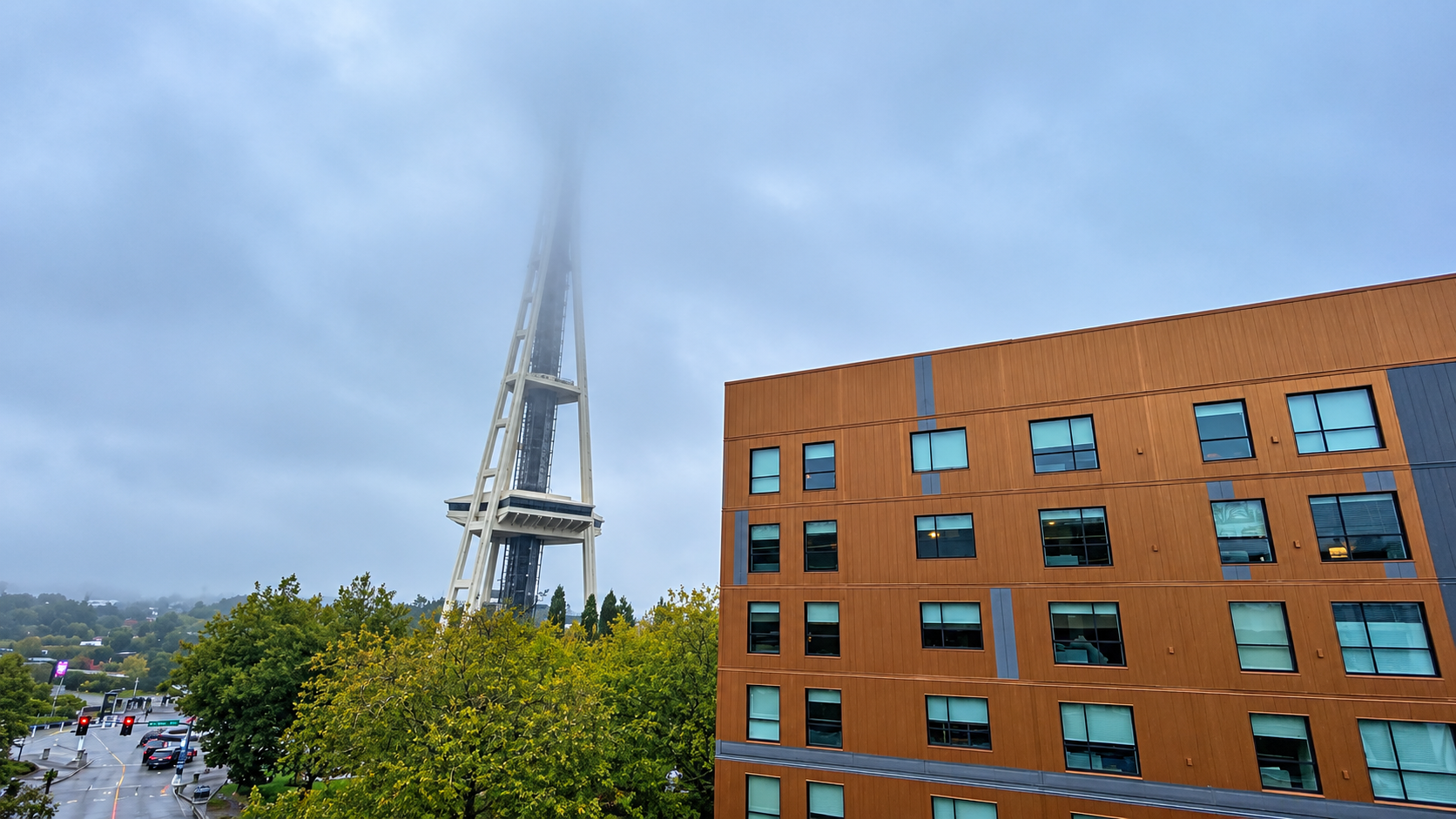
A heavy blanket of low-lying, hazardous dense fog has settled across the greater Seattle area, creating treacherous conditions for morning commuters, ferry operators, and local transit routes. The National Weather Service in Seattle officially issued a Dense Fog Advisory after surface visibility plummeted to less than a quarter-mile across major stretches of King, Snohomish, Pierce, and Kitsap counties. State transportation authorities and local law enforcement have issued urgent weather safety alerts across Puget Sound, warning motorists to exercise extreme caution on highways and surface streets.
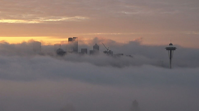
Regional traffic cameras along Interstate 5, Interstate 90, and SR 520 show dramatic visibility drops, particularly near low-elevation waterways and floating bridges where fog tends to concentrate most heavily. The Washington State Department of Transportation (WSDOT) reports significant slowdowns across major interchanges, including the I-5 corridor stretching through Downtown Seattle, Shoreline, Lynnwood, and Everett, as well as South King County corridors toward Renton and Tacoma. Low-elevation river valleys, floating bridges across Lake Washington, and coastal marine routes near Elliott Bay continue to experience the lowest visibility readings, prompting Seattle-Tacoma International Airport (SEA) and regional ferry terminals to monitor potential travel disruptions.

To prevent chain-reaction collisions and highway accidents, the National Weather Service and the Washington State Patrol have published essential safety directives for all drivers navigating through the affected corridors. Motorists are urged to slow down immediately, manually turn on low-beam headlights so rear taillights remain illuminated for vehicles behind, and maintain a generous following distance. Safety officials explicitly remind drivers never to use high-beam headlights, as the intense light reflects off tiny water droplets in the fog back into the driver’s eyes, compounding visibility hazards.
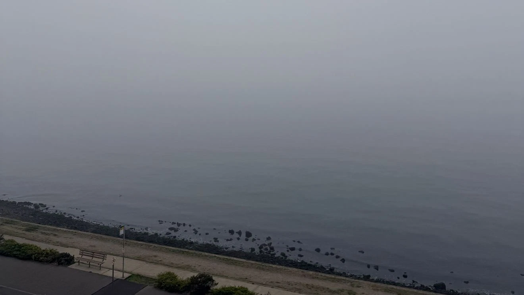
Meteorologists attribute this dense fog event to classic autumn temperature inversions across western Washington, where cool, moist ocean air trapped near the ground collides with calm atmospheric winds overnight. Forecasters expect the dense fog layer to burn off gradually toward mid-to-late morning as solar heating warms the surface layer. However, driver caution remains vital during peak morning hours until visibility returns to clear conditions across the DubSea area.
Check Out Our Post on Instagram: