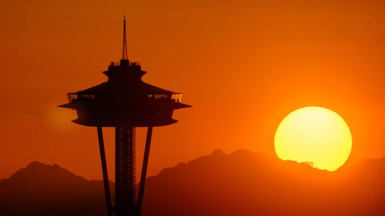
A rare and powerful climate pattern may be forming in the Pacific Ocean, one that could significantly influence weather across Washington state and beyond. Scientists are watching closely as conditions hint at the development of a very strong El Niño, sometimes referred to as a super event.
El Niño occurs when ocean surface temperatures in the equatorial Pacific rise well above average. This warming disrupts normal atmospheric circulation, shifting storm tracks and altering weather patterns across the globe. When the warming becomes especially intense, the impacts tend to be stronger and more widespread.
Forecast models suggest that such a strong event could develop within the next year. While not guaranteed, the possibility alone is enough to raise concerns among meteorologists and climate scientists.
For the Pacific Northwest, El Niño often brings noticeable changes, especially in winter. A strong event typically leads to warmer than average temperatures, reduced mountain snowpack, and drier overall conditions.
This combination can have cascading effects. Snowpack in the Cascades acts as a natural reservoir, slowly releasing water into rivers through spring and summer. A weaker snowpack could strain water supplies, affect agriculture, and reduce hydroelectric power generation.
Although El Niño’s influence is strongest in winter, its ripple effects can extend into warmer months. If the region enters spring with less snow and drier soils, forests may become more vulnerable to fire.
That does not guarantee a severe wildfire season, but it increases the likelihood, especially if summer temperatures also trend above normal.
El Niño is not just a regional phenomenon. A very strong event can reshape weather patterns across continents, bringing heavy rains and flooding to some regions while triggering droughts in others. It can also contribute to global temperature spikes, making already warm years even hotter.
Despite increasingly sophisticated climate models, El Niño events are not perfectly predictable. Each one behaves slightly differently, and local outcomes can vary depending on other atmospheric conditions.
For Washington residents, the key takeaway is not certainty but preparedness. A warmer, less snowy winter is a likely scenario if a strong El Niño develops, and that could have real impacts on water resources, ecosystems, and wildfire risk.
As scientists continue monitoring Pacific Ocean temperatures, more clarity will emerge in the coming months. Until then, the possibility of a powerful El Niño serves as an early signal that the region may need to brace for a winter that looks very different from the norm.